Source health that stays visible
Terrain, buildings, vegetation, airspace and weather retain their coverage, freshness and failure state instead of disappearing behind a clean result.
Professional planning case study
SighThor brings drone route visibility and terrain-aware camera coverage into one professional beta for drone pilots, camera installers, security consultants and organisations responsible for complex sites.
A useful planning workspace must explain which sources were used, where uncertainty remains, what the model found and which decisions still belong to accountable people.
Terrain, buildings, vegetation, airspace and weather retain their coverage, freshness and failure state instead of disappearing behind a clean result.
Camera, route, 3D and export paths stay bound to the same source evidence and calculation revision.
Readiness states distinguish what is complete, what needs attention and what blocks a reviewable draft.
UK aviation requirements, terrain and LiDAR access, camera-design practice and source licensing inform an architecture built around frozen scenes and human-reviewed evidence.
Photographic scenarios show the operational context while the planning overlays make terrain, obstruction, overlap and areas requiring review visible.
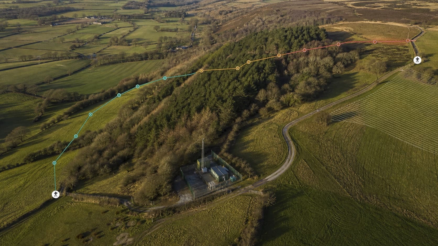
Terrain relief and changing route confidence remain visible in one professional planning view.
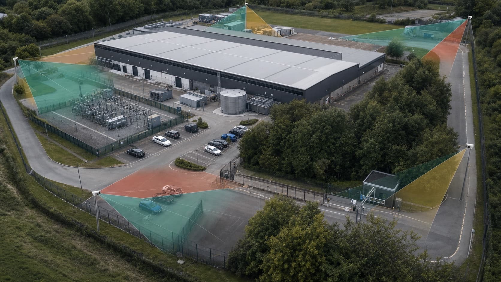
Buildings, perimeter geometry and vegetation visibly affect the model before a design is handed to a practitioner.
Wales Enhanced remains blocked pending authoritative datum evidence. Paid OSNI data remains disabled. Geometric VLOS and nominal DORI remain inputs to practitioner review, not automatic professional decisions.
For teams and organisations
Create an account to try Camera Design or Flight Operations. Use the contact form to share feedback, describe a missing workflow or discuss a private deployment requirement without implying regulatory authority.