Jurisdiction and operation
Record the intended operation and applicable framework without asking software to make the legal decision.
Flight Operations
Combine terrain and surface evidence, altitude, observers, airspace context and human controls in one UK-first planning workspace.
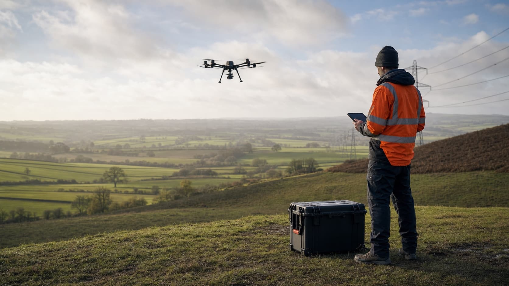
The workflow is designed to accelerate preparation, not hide professional judgement behind a score. Blocking, warning and optional inputs remain separate.
Record the intended operation and applicable framework without asking software to make the legal decision.
Keep accountable people, aircraft, observer roles and supporting records together.
Draw the route with an explicit AGL or AMSL model and inspect the complete calculation extent.
Attach time-bounded evidence and retain unavailable or unresolved sources as blocking checks.
Analyse every relevant route segment, show coverage by observer and preserve unobserved gaps.
Record mitigations and prepare a traceable draft pack for qualified review.
Terrain-aware line of sight can support a review, but legal VLOS also depends on aircraft conspicuity, conditions, human performance, procedures and the applicable rules.
Sample the planned polyline with explicit AGL or AMSL semantics and invalidate dependent results when inputs change.
Attribute segment coverage to pilot and observer positions and retain every unobserved gap.
Terrain, surface, buildings and estimated vegetation use the same frozen evidence context across analysis and export.
Unknown source areas, visibility limits, site checks and authority evidence become visible tasks rather than clean defaults.
The evidence lifecycle records analysis, review, signature and submission separately. Only an uploaded authority decision can record that final external state.