Define the work
Record the operation or site, people, equipment, geometry and intended review outcome.
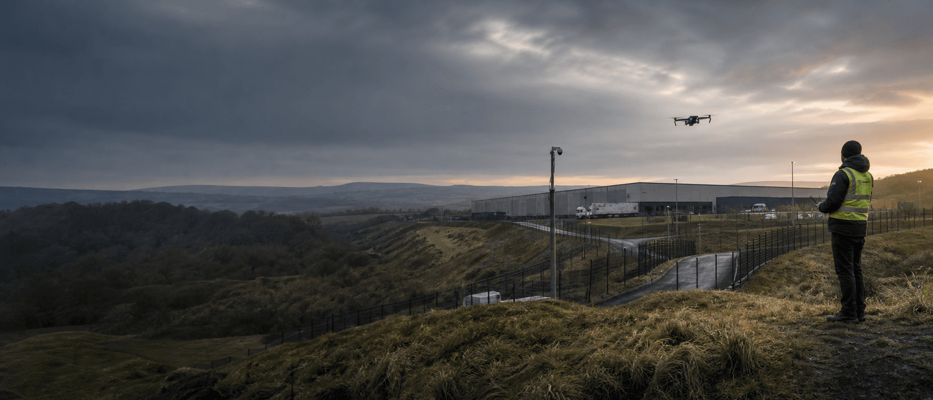
UK-first professional beta
Terrain-aware planning, source provenance and human review in one evidence workspace for flight operations and camera design.
Planning acceleration, not regulatory approval. Every output requires source checks, field confirmation and competent-person review.
See how terrain relief and changing visibility confidence shape a route before the analysis becomes a draft for human review.
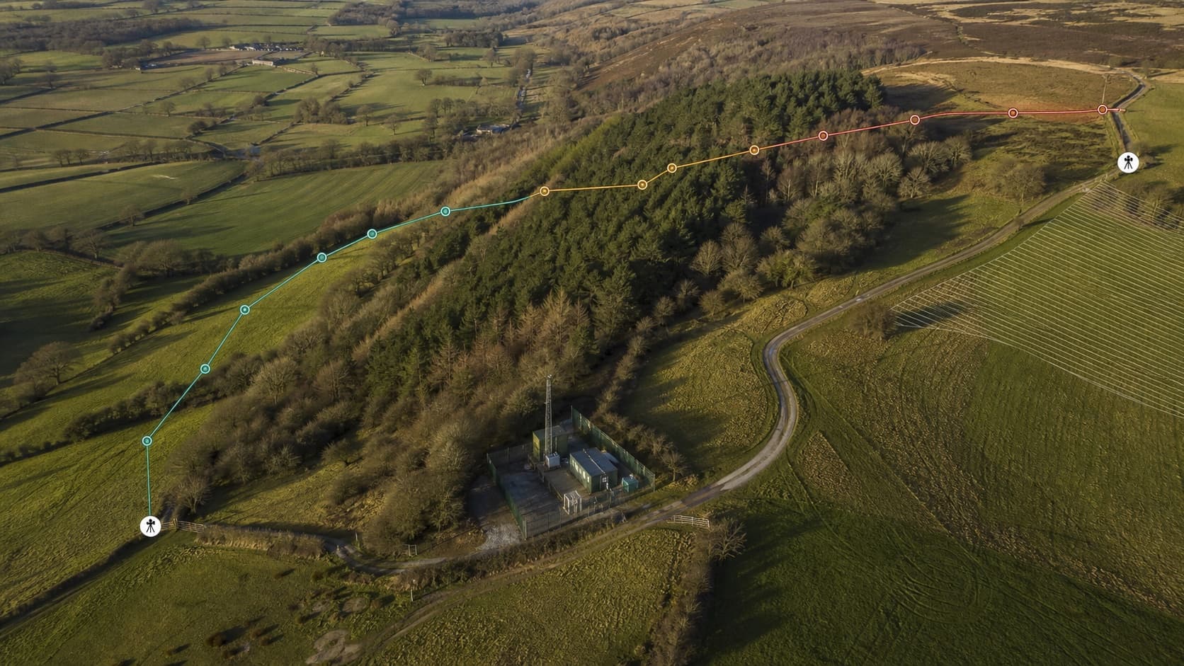
Terrain relief and changing route confidence remain visible in one professional planning view.
Evidence lifecycle
Record the operation or site, people, equipment, geometry and intended review outcome.
See grade, coverage, resolution, datum, age, licence and failure state before analysis.
Run a frozen scene, inspect blocked and unknown areas, then record human controls.
Prepare a traceable draft pack for competent-person review. SighThor does not grant approval.
Flight and Camera have different buyers, standards and decisions. SighThor keeps their journeys separate while sharing scene, terrain and provenance foundations.
Build a UK-first mission draft around terrain, surface evidence, observers, altitude, airspace context and explicit unresolved checks.
Place cameras, separate sensor-derived and manual optics, inspect terrain and obstruction effects, and prepare a reviewable schedule.
Buildings, perimeter geometry and vegetation remain visible where they reduce, overlap or interrupt the nominal coverage model.
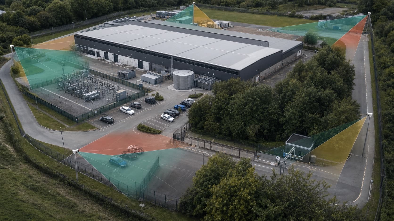
Buildings, perimeter geometry and vegetation visibly affect the model before a design is handed to a practitioner.
SighThor is designed so a reviewer can inspect what was selected, what failed, which calculation version ran and what still needs a human decision.
Publisher, coverage, grade, datum, resolution, age, licence, health and NoData remain explicit.
Geometry, sources, assumptions, engine version and result are linked by deterministic evidence hashes.
Review, signature, submission and an uploaded authority decision remain distinct lifecycle events.
Portfolio case study
See how SighThor supports drone operators, camera installers, security consultants and site teams with terrain-aware simulation, explicit uncertainty and reviewable evidence.